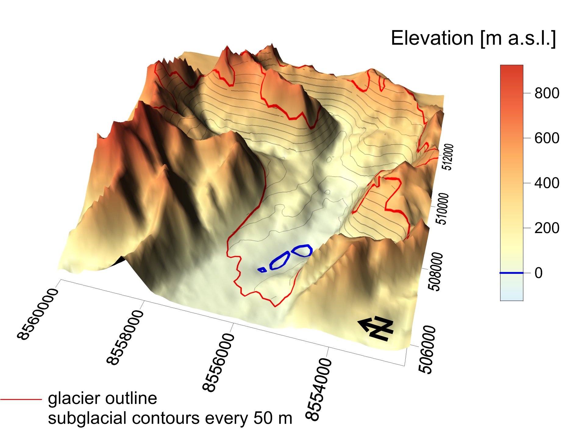
Ice-free topography of Werenskioldbreen...
Topography based on: Grabiec M. 2017: Stan i współczesne zmiany systemów lodowcowych południowego Spitsbergenu w świetle badań metodami radarowymi. Wydawnictwo Uniwersytetu Śląskiego, 328 s. NORSK POLARINSTITUTT. Topografisk kart over Svalbard 1:100000, Blad B12 Torrelbreen. Jania J., Kolondra L., Aas H.F., eds., 2002: Werenskioldbreen and surrounding areas. Spitsbergen, Svalbard, Norway. Orthophotomap, 1 : 25 000. Katowice—Tromsø: Uniwersytet Śląski, Norsk Polarinstitutt.
Additional Information
| Field | Value |
|---|---|
| Data last updated | January 31, 2025 |
| Metadata last updated | January 31, 2025 |
| Created | January 31, 2025 |
| Format | JPEG |
| License | No License Provided |
| Lead photo | |
| Datastore active | False |
| Datastore contains all records of source file | False |
| Has views | True |
| Id | f00e5d33-e7ee-40b1-971e-aa601380e1c8 |
| Package id | 9241ae56-8a67-4ee2-a47a-0ceeeb4934d3 |
| Position | 2 |
| State | active |